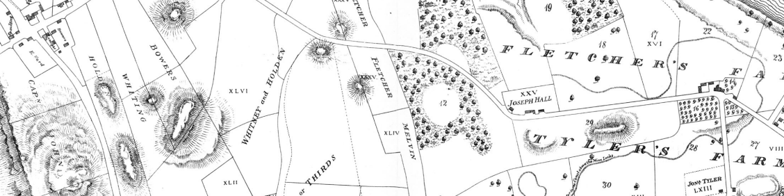
Boston investors first attempted fully-integrated cotton textile manufacturing (both spinning and weaving) in Waltham, on the Charles River. Seeking more water power to expand their production, however, they decided to move to what was then East Chelmsford, on the Merrimack River. Other investors had built a transportation canal to skirt the Pawtucket Falls there and the “Boston Associates” turned that into a power canal and built the first mills along tributary canals. These two maps, one from 1821 and the other from 1832, show some of the “changes on the land” that the development of Lowell, MA entailed.
What does the 1821 map suggest about land ownership and land use before industrial manufacturing? How was the landscape organized? How did residents affect or remake natural features? How does the 1832 map reveal the older geography and land use? What modifications or additions happened between the first and the second?
Citation:
Mather, Benjamin. Plan of the Town of Lowell and Belvidere Village. “University of Massachusetts Lowell Library.” 1832. https://libguides.uml.edu/c.php?g=546127&p=3755188 and Hales, J.G. A Plan of Sundry Farms Est. at Patucket in the Town of Chelmsford. 1821. https://libguides.uml.edu/c.php?g=546127&p=3746304.